The Ministry of Environmental Protection and Agriculture of Georgia reported that the country has consolidated comprehensive data on its land resources into a unified database for the first time in nearly 20 years.
The initiative was carried out in cooperation with the National Agency for Sustainable Land Management and Land Use Monitoring, bringing together fragmented datasets into a single, systematized platform.
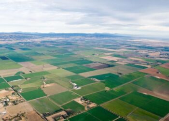
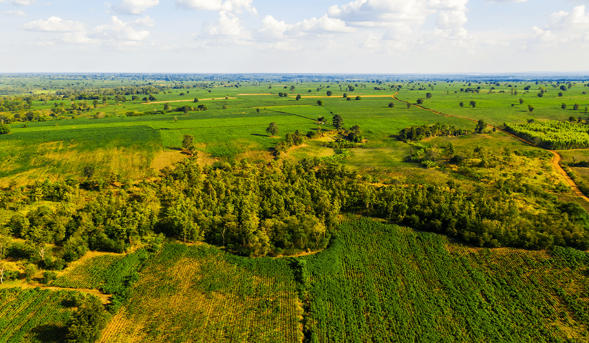
The unified land fund database provides a detailed overview of both agricultural and non-agricultural land across the country. Agricultural land is categorized by areas used for annual and perennial crops, while non-agricultural land includes multiple classifications such as forest resources, protected areas, water bodies, glaciers, lakes and urban territories.
The agency head Giorgi Misheladze stated that the database offers a complete and structured picture of Georgia’s land resources based on usage and category, significantly improving data accessibility and reliability.
Until now, land-related information in Georgia was dispersed across various institutions, including the public registry and statistical surveys, often based on incomplete or self-reported data. This fragmentation limited effective planning and analysis.
The new system integrates verified data from multiple sources, including government agencies and internally processed datasets, creating a more accurate and consistent foundation for decision-making. Officials say the platform will benefit both public institutions and private sector stakeholders by simplifying access to reliable land information.
The database is publicly accessible through the agency’s official website while an interactive land use and land cover map has also been published on the ministry’s geographic information portal.